
Green Dome,
Denali National Park
July 30 - August 1, 2019
Activity: Wilderness Backpacking
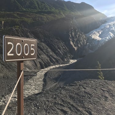
Location: Denali National Park, Unit 10, AK
Peak Elevation: 6,302ft
Elevation Gain: 3,100ft
Distance: 25 miles
Time: 3 days/2 nights
Success/Failure: Success
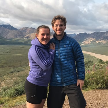
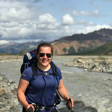
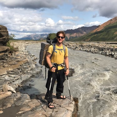
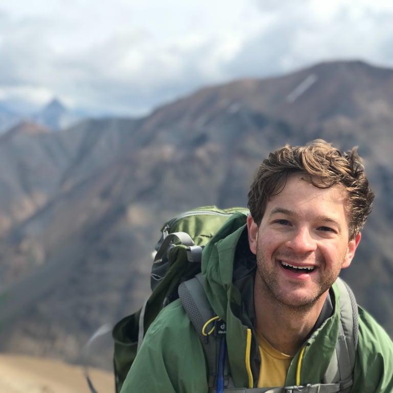
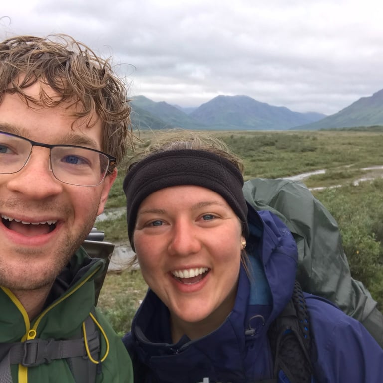
Team: Tim Murcko (Chunkin'), Magdalena Chmiel (Bike Shorts)
This backpacking trip was a highlight of our 12 day vacation and inspired the Alaskan River Slab Project. We have hiked or climbed in many incredible national parks but Denali takes it to the next level. You could spend a lifetime exploring the park and always find something new. The raw wilderness experience this park brings out is amazing. Between the grizzlies, the rock scrambling, and the extreme weather patterns, you need to be ready for anything.
Postmortem
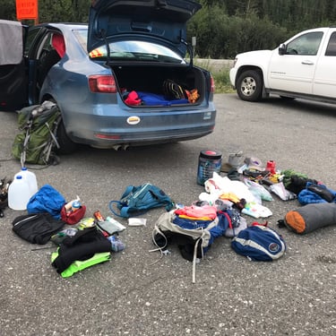
July 27, 5:30AM: We were packing a lot into this trip. Backpacking in Denali National Park (DNP) was only one segment. This was our first time in Alaska and we wanted to see as much as we could. The plan was to spend 12 days living out of a car, hiking or backpacking along the way. We did not need any technical gear, just the usual hiking stuff. We landed in Anchorage late morning after an early morning flight out of SFO, grabbed the rental car, and bought some bear spray. We planned to visit DNP at the front of our trip so we would have some time to recover in case weather turned sour. Luckily, we had a decent weather window so went for it.
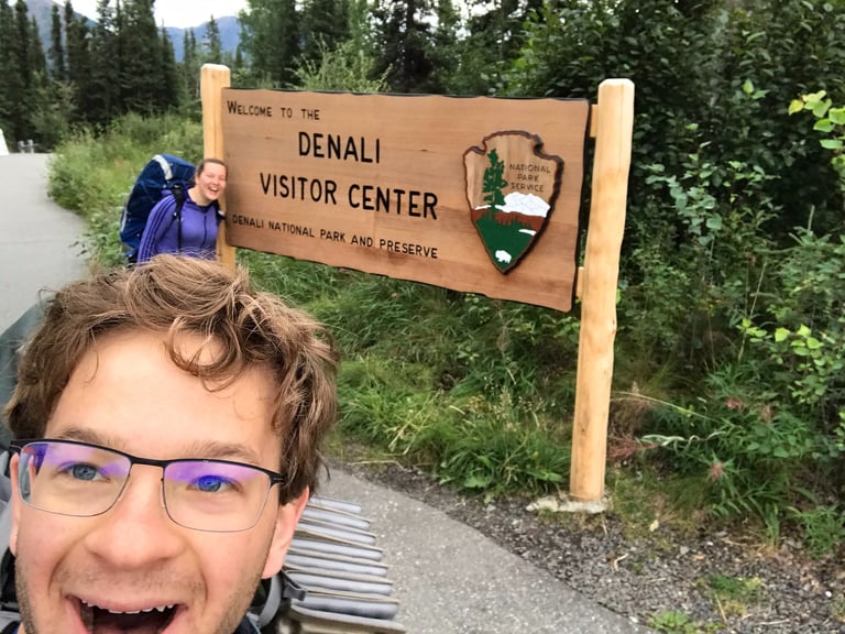
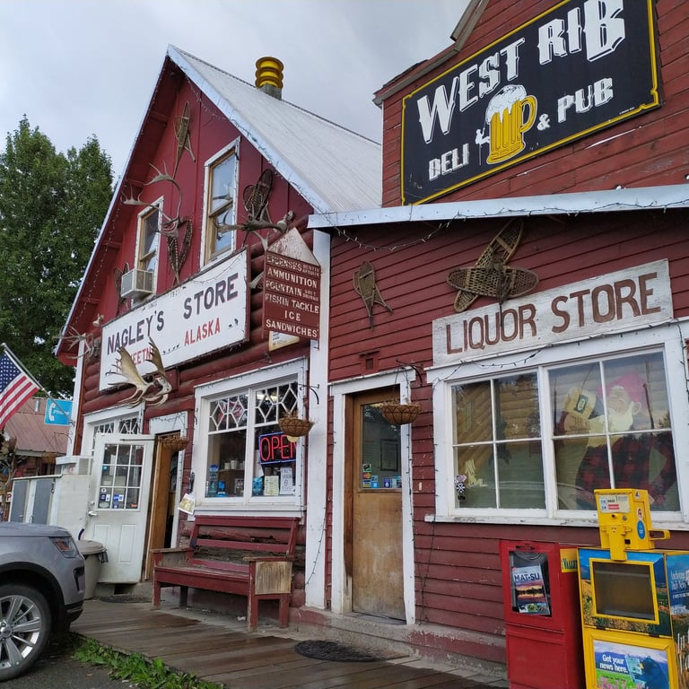
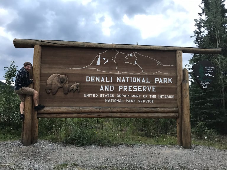
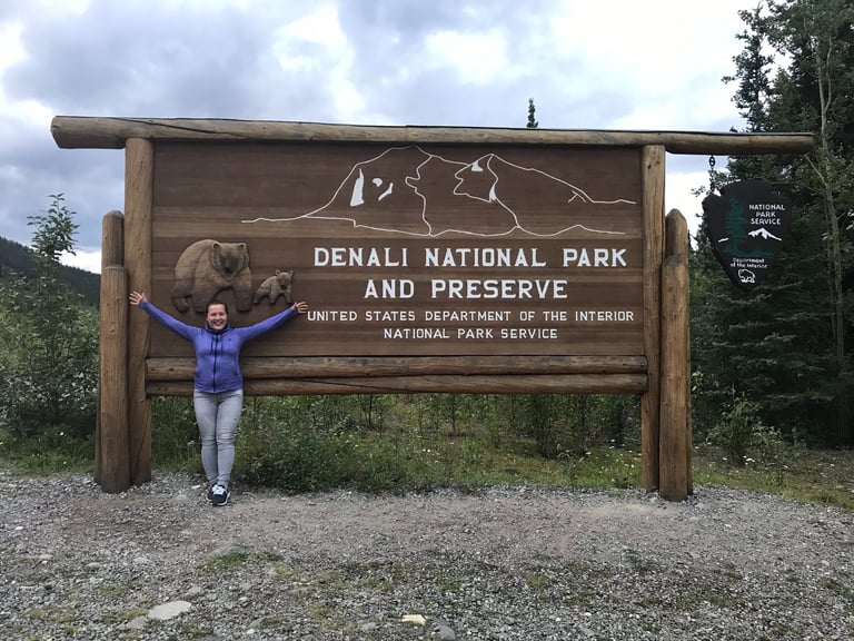
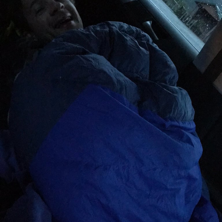
July 28, 5:36PM: The drive from Anchorage to DNP is quite nice and not too far - about 4 to 5 hours depending on how many stops you make. The route is surrounded by classic Alaskan mountains, lush forest, and vibrant flowers. Along the way we passed through Talkeetna, a charming little town worth a stroll and bite to eat. The whole area felt relaxing. By 10:40PM we had made it to the DNP sign - it has got to be one of the best ones out there! We found a parking lot outside the park and crashed there for the night. The summer light in Alaska is wild. There is no need for a headlamp, which is weird until you get used to it.
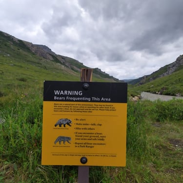
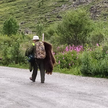
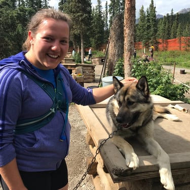
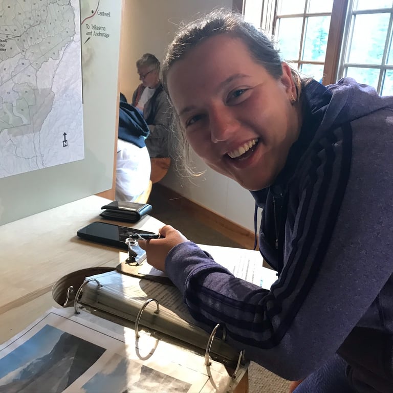
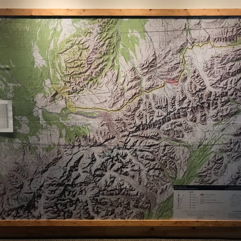
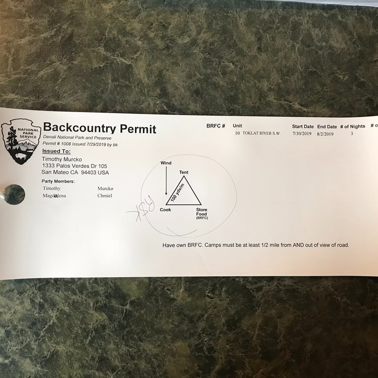
July 29, 8:46AM: The next morning was dedicated to final planning and securing permits. Backpacking in Denali is all wilderness. No trails, just designated units, each with a daily hiker limit. So it is best to have a few backups. We had done plenty of research in advance to understand the permit system and identify our preferred units. The ranger we worked with was super nice and helpful. We made use of their awesome wall map and summary book to agree on unit 10. We liked it because wildlife are normally present, there was a glacier at the end of the unit, navigation was straightforward, and there were plenty of options for scramble peaks all around us. After the “bear safety lecture,” some informative videos, and securing our 3-night permit starting tomorrow, we spent the rest of the day exploring some accessible hikes near the park headquarters and visiting the winter dog sled team. Highly recommend!
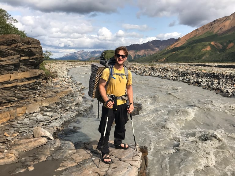
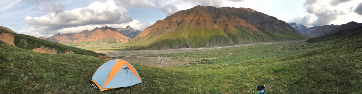
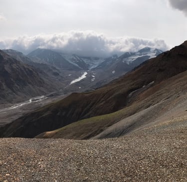
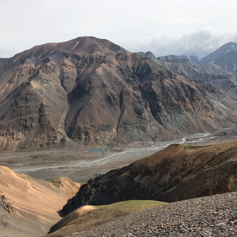
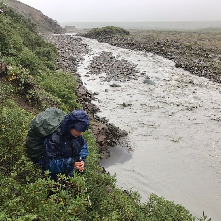
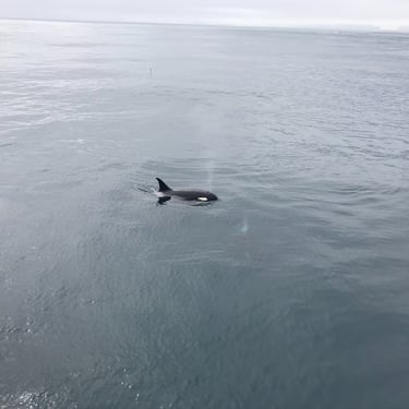
July 30, 10:30AM: We were finally in motion, hiking down the valley. This unit is primarily characterized by a glacially fed stream that cuts right down the middle. It is a vital water source for the wildlife, and you can see clear animal tracks all around of bear, moose, and deer. We both carried bear spray and made a strong effort to talk or even sing the entire time. If there is one thing I do not want to surprise, it is a grizzly bear. Off in the distance we saw a lone reindeer just minding its own business. Later we spotted an entire herd but they were too far for a good picture. We continued to follow the stream, occasionally needing to cross it as it split in multiple directions. The goal was to cover about 10 miles today at a leisurely pace, set up camp, and relax. Tomorrow we would bag a peak.
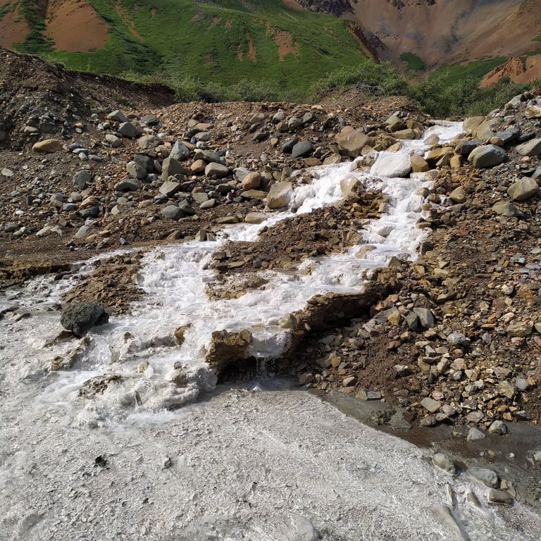
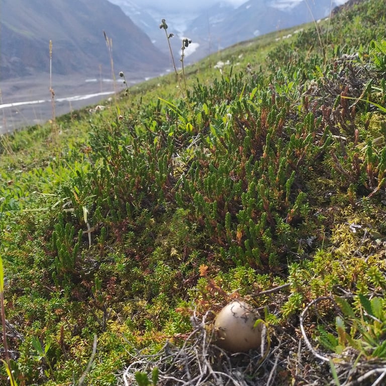
July 30, 3:05PM: We stopped multiple times along the way to admire the rad rock colors and mineral formations. I assume the white crystal structure is a calcium deposit (calcite) but I am not 100% sure.
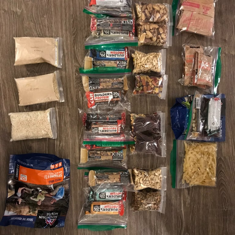
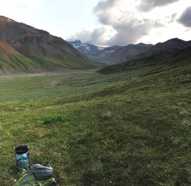
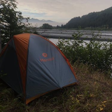
July 30, 6:47PM: Camp was setup and we were straight chilling. We decided to hike up a hill for better views of the surrounding area. Dinner that evening was one of those dehydrated backpacking meals. It was our first time trying them and honestly, never again. They are expensive, not very tasty, and not filling. You are better off getting some frozen meatballs and pasta for day one. Other days can be dried fruits, nuts, and bars. Having high quality food makes a big difference in our work output. As we discussed tomorrow's plan, we had our sights set on a peak a few miles away, with a prominent ridge line offering direct access. We did not see any immediately obvious hazards along the route.
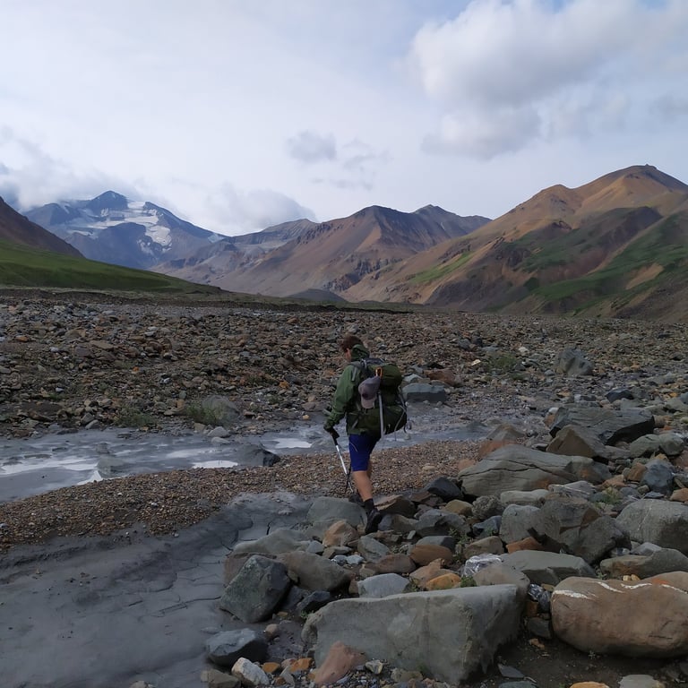
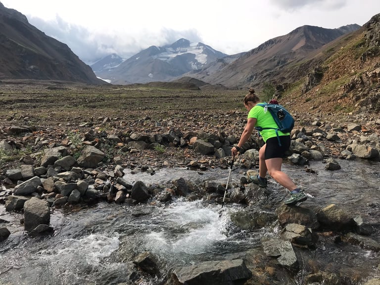
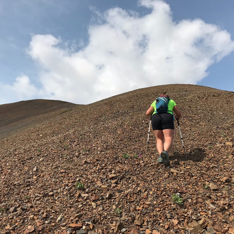
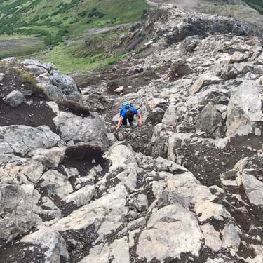
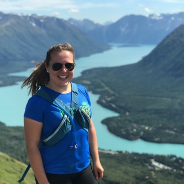
July 31, 10:05AM: After a solid night's sleep we were off and moving before 10AM. The sky was slightly overcast and I checked the weather forecast on my Garmin inReach. There was only a minimal chance of rain. We scrambled across the stream and made our way towards the base of the mountain. The peak we had selected was "Green Dome" with a peak elevation 6,302ft and roughly 2,000ft above us. While not a big climb, venturing through wilderness always requires a bit more time when compared with normal hiking trails. The base was very steep and slippery from the wet grass but the short stretch of soft dirt provided good footing.
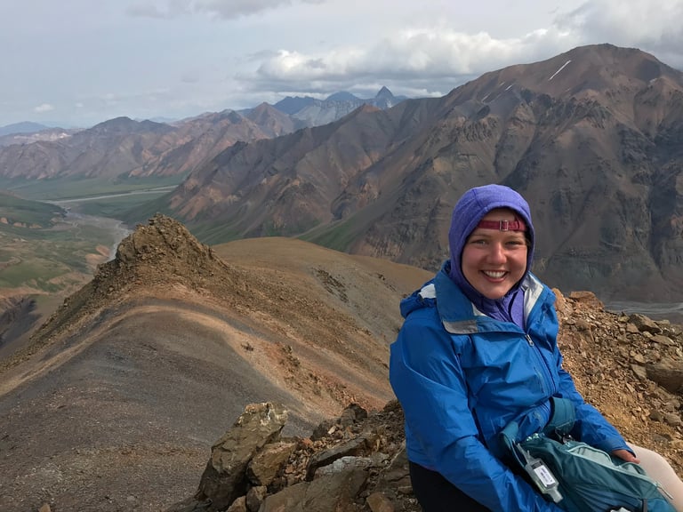
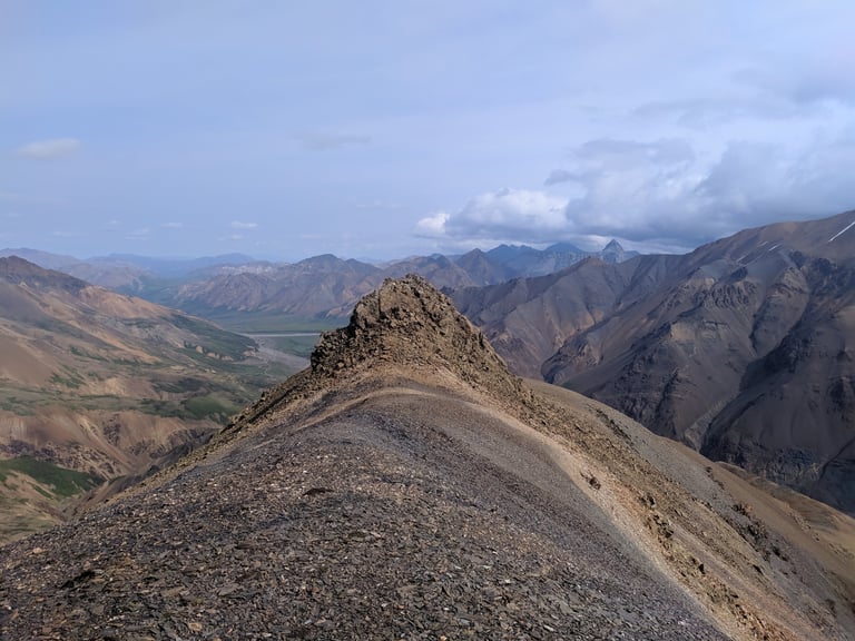
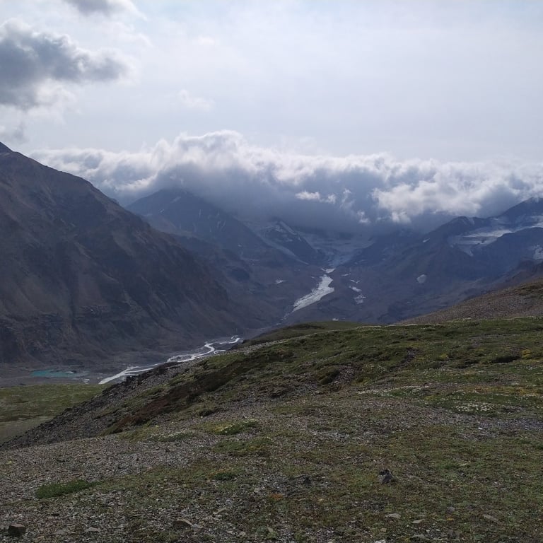
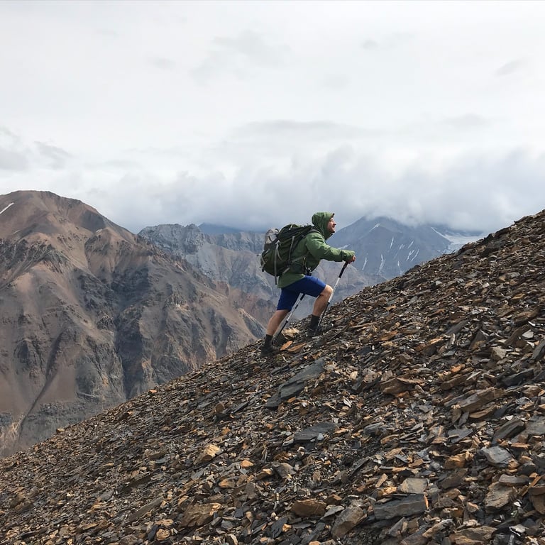
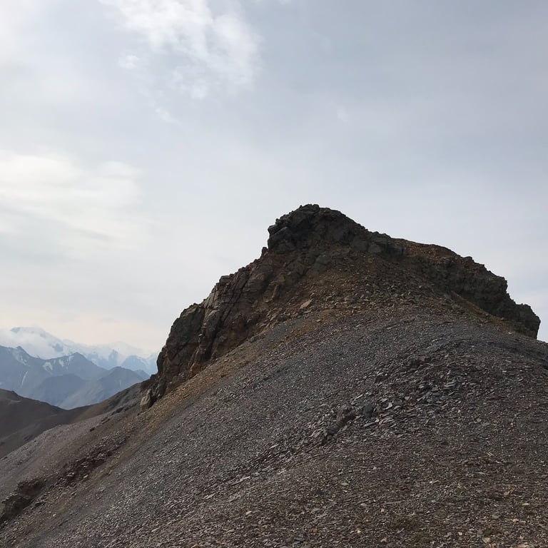
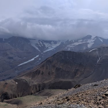
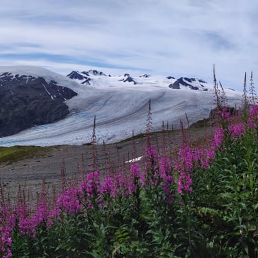
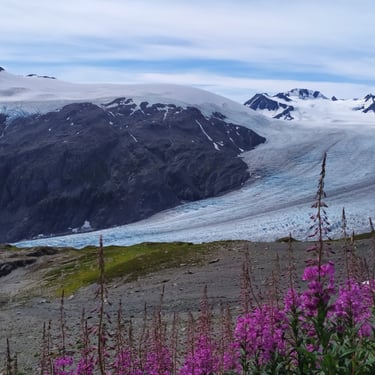
July 31, 12:14PM: After a couple of hours we reached the ridgeline, and the path to the summit was clear. The sharp point sticking out in the back is the peak. The small rocks held pretty well, even on the steeper sections. We have done a lot of hiking in the Sierra mountain range and were accustomed to loose and steep scree field terrain. The ridgeline was broad with no serious exposure, and offered expansive views of the valley and glacier as we gained elevation.
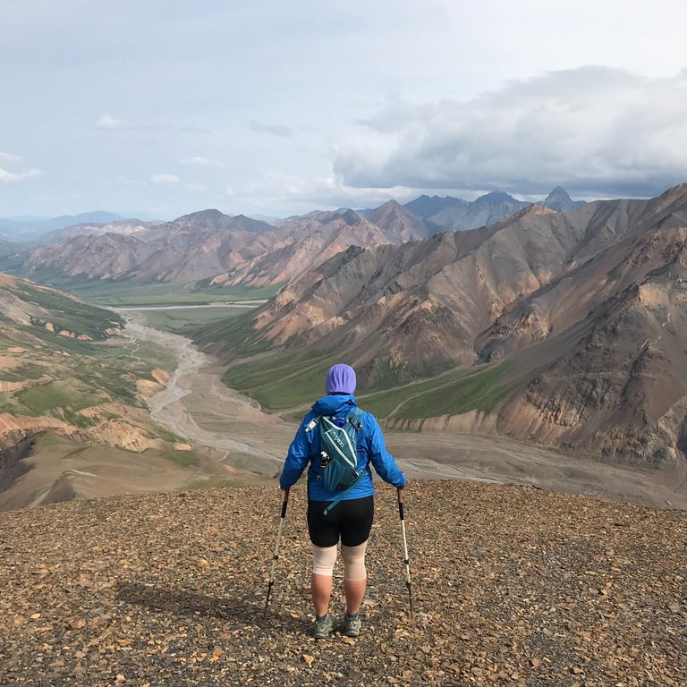
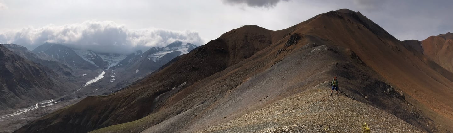
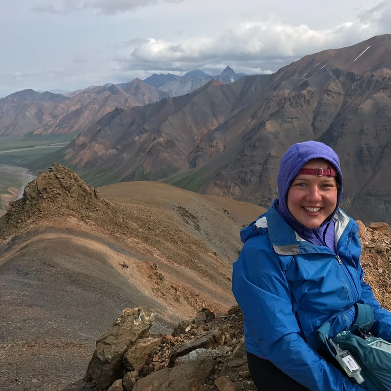
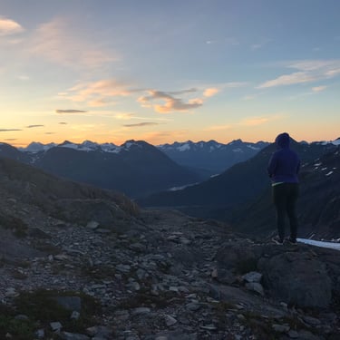
July 31, 2:07PM: We reached summit! Nothing but silence - not a single sign of human life. We snapped some photos and decided on an alternative route down that would form a loop. Although retracing our steps was an option, our energy and enthusiasm prompted us to explore further toward the glacier.
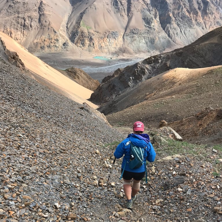
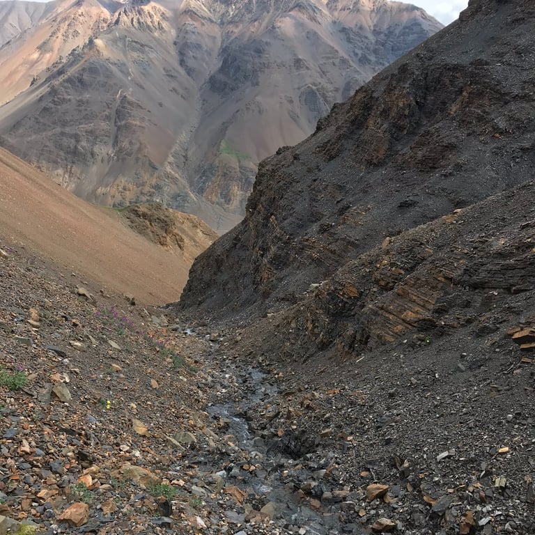
July 31, 3:41PM: We found an alternate descent route from the eastern side of the mountain. Our goal was to drop down close to the base of the glacier, walk as close as we could to it, and then walk back down the valley to camp. Our line followed a small trickle of water that turned into a wider and more aggressive stream as we progressed. The pictures do not do it justice but it was getting steep and wet. We rounded a corner only to find out we were at the top of a waterfall. I peered over the edge as safely as I could but did not see the bottom. It was not clear how far up we were and if there was a safe way around. We played it safe and made the slog back up. This all probably added over an hour of backtracking. I found a trip report from winterbear who also found the waterfall but they were going up, not down. Turns out it was something like 30 feet tall. Apparently there is a steep scree line around it, but they even make note that some people in their party were quite uncomfortable. With a good visual it would have probably been fine, but we were not in the right place to make a bad call. This is the game you play sometimes.
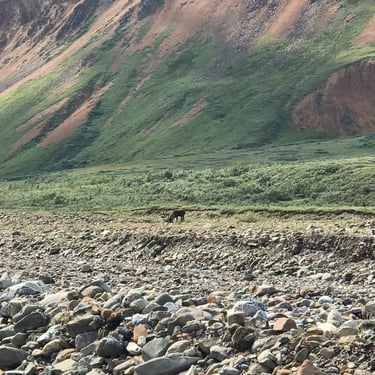
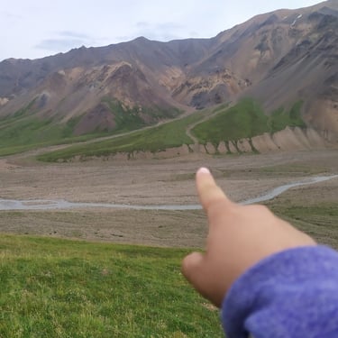
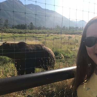
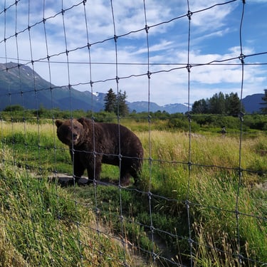
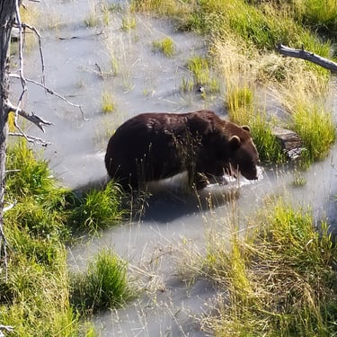
July 31, 6:50PM: At this point, we were down and began searching for our bear canister and stove that we had carefully hidden due to wind and potential bear encounters. As we walked down the ridge we actually noticed a grizzly headed in the direction of our campsite. The picture pointing the bear out but was too far away to be clear. I swear though, there is a grizzly out there. This was the first time seeing a bear in the wild, and it definitely increased our heart rates a bit. We never saw another bear after this though.
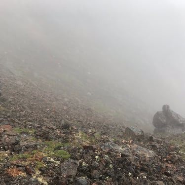
August 1, 10:03AM: We woke up to a complete downpour. I peaked outside and there was poor visibility from the misty haze in the mountains. We were hoping to bag another peak today but it would have been miserable and less rewarding without any views. Thankfully, our tent held up well against the Alaskan storm, keeping us warm and dry inside. No immediate concern but we discussed our options. Checking the weather on my Garmin inReach confirmed rain all day, with clear skies expected tomorrow. With our permit still valid for another night, we debated whether to wait out the storm in the tent with light activities or head back today. If we had more time on our vacation I think we would have waited the storm out. But given our time constraints we opted to head back. We did not want to waste a day and would rather keep on moving to the next thing. Reluctantly, we packed up camp and trekked back to the road. We were wet and cold but knew there was a bus and showers waiting for us on the other side.
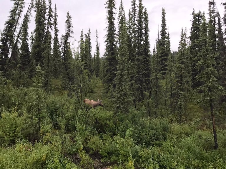
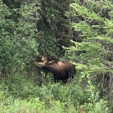
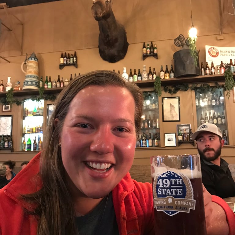
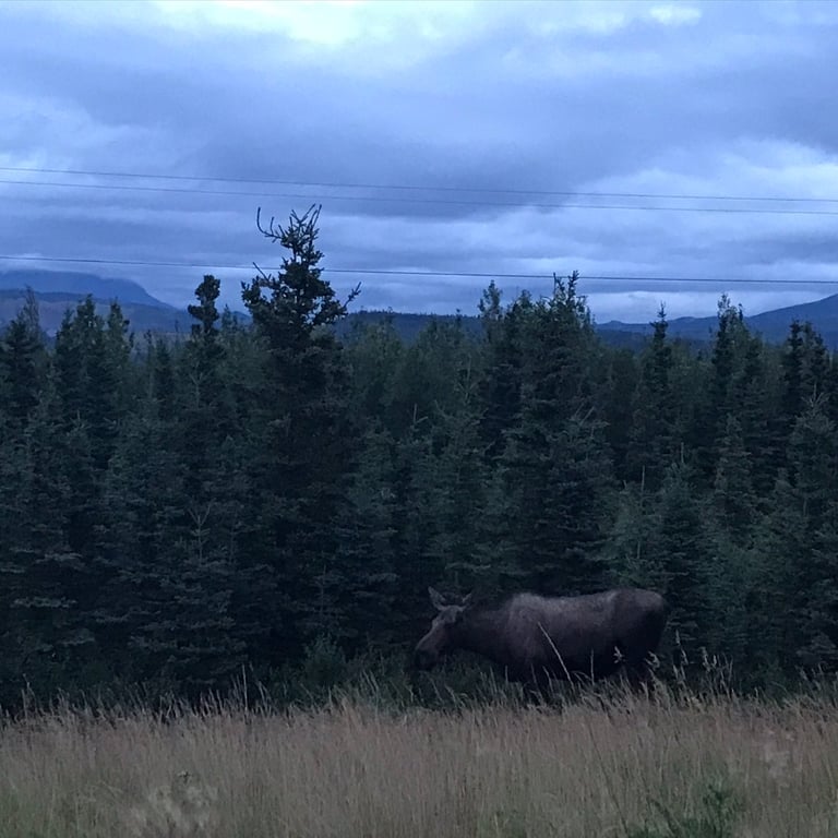
August 1, 9:18PM: Beer and yak burgers at 49th State Brewing - I highly recommend! On our drive back to our favorite car camping spot we spotted another moose, putting a perfect end to the day.
Denali National Park is an absolute must see destination for any outdoors enthusiast. Even riding the bus and walking around is, in my opinion, a worthwhile experience. I was really inspired by the area we backpacked in which helped me frame the idea of the Alaskan Slab Project. Alaska has an incredible wealth of amazing spots and is even a great place to get married in!
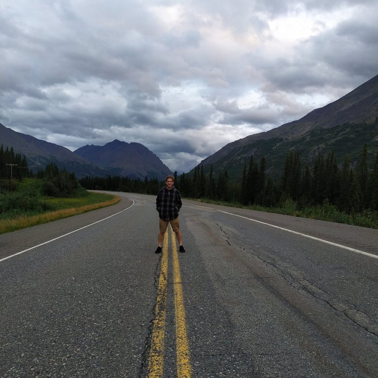
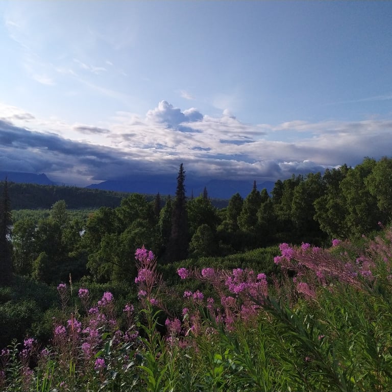
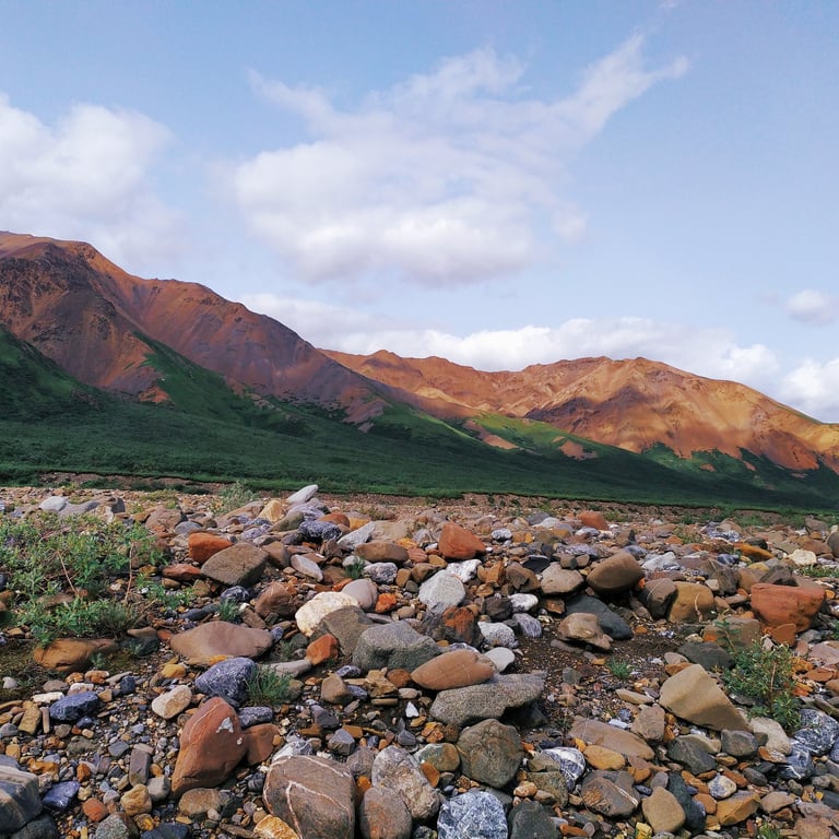
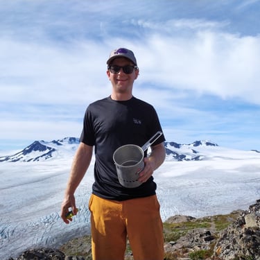
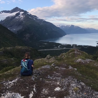
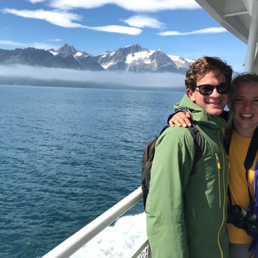
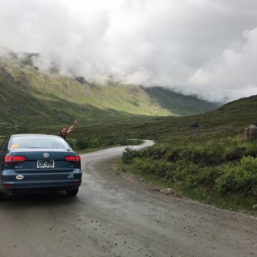
This was, without question our best "adventure vacation" to date. The list of stuff we want to go back and see or do is endless. Here is a quick montage of some more of our favorite pictures from along the way.
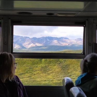
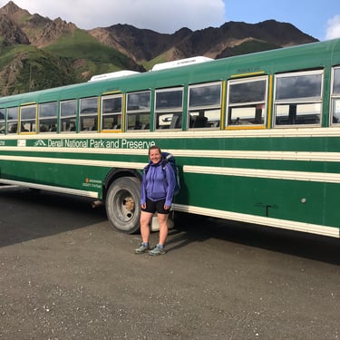
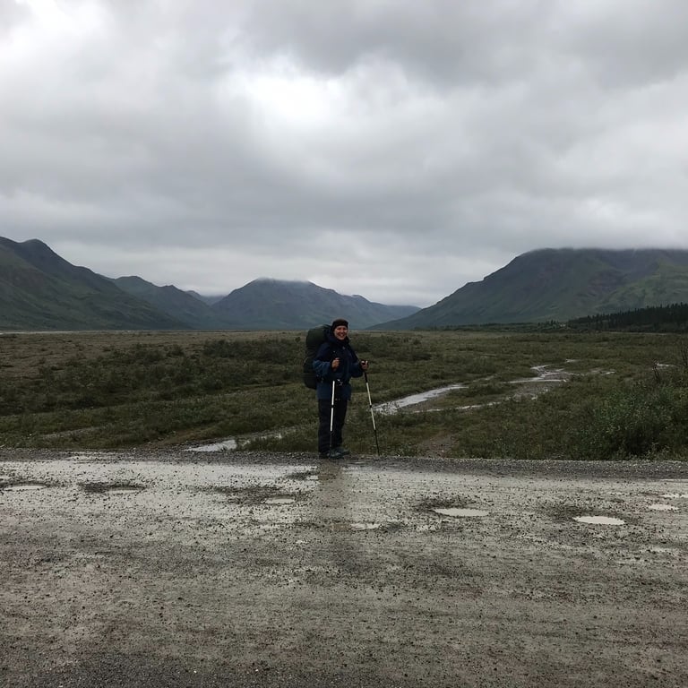
July 30, 7:00AM: We were on the bus and moving. Visitors are only allowed to drive the first 15 miles. After that you must take the bus. The road spans 92 miles end to end, and you just ask the driver to drop you off at your designated unit. When you finish your trip, you walk back to the road and wait for a bus to pick you up. Unit 10 is about a 3 hour bus ride so you are pretty far out there.