Matterhorn Peak, Attempt 2
October 14, 2023
Activity: Hiking/Climbing, class 4 with mixed rock/ice
Location: Sawtooth Ridge, Yosemite Wilderness, CA
Peak Elevation: 12,279ft
Elevation Gain: 5,400ft
Distance: 14 miles
Time: 17 hours
Success/Failure: Success
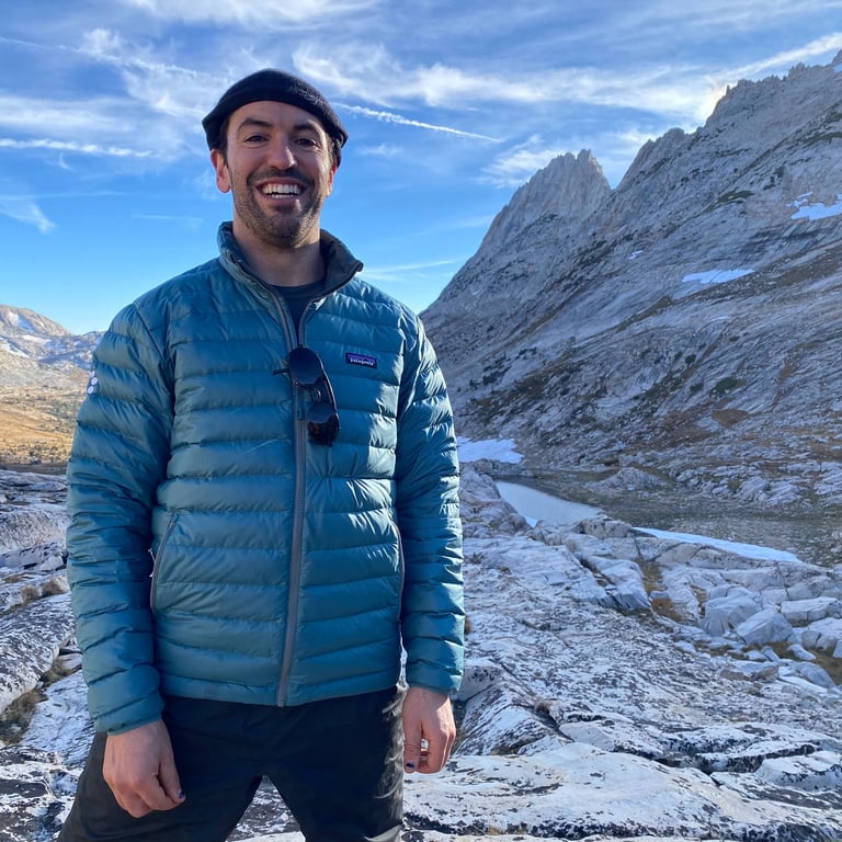
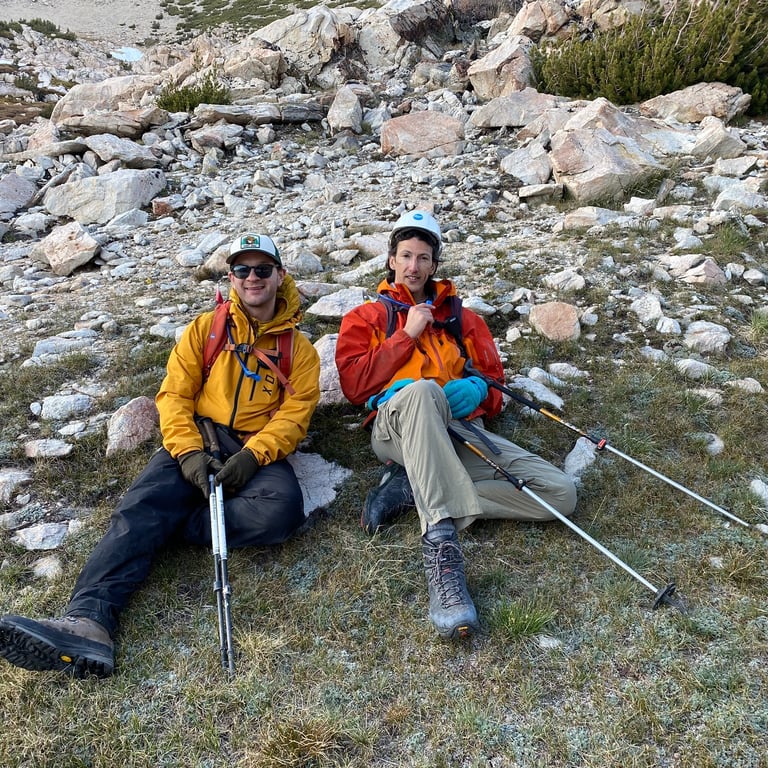
Team: Tim Murcko (Chunkin'), Ronen Sarig (Old Man Winter), Sam Waldbaum (SamTheVegan)
My second attempt of this eastern sierra classic, and this time a success! Ever since the first backcountry attempt on Matterhorn Peak back in 2017 I have been itching to return. Life caught up, it was not happening. Finally I just had to say "screw it, I am going in the next 2 months". I rounded up the troops and made it happen. It was a long day, but a good day. I still want to go back in the winter time to ski one of the couloirs. It is on the list.
Postmortem
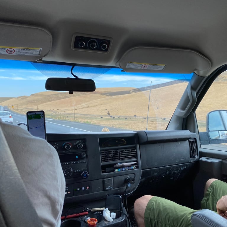
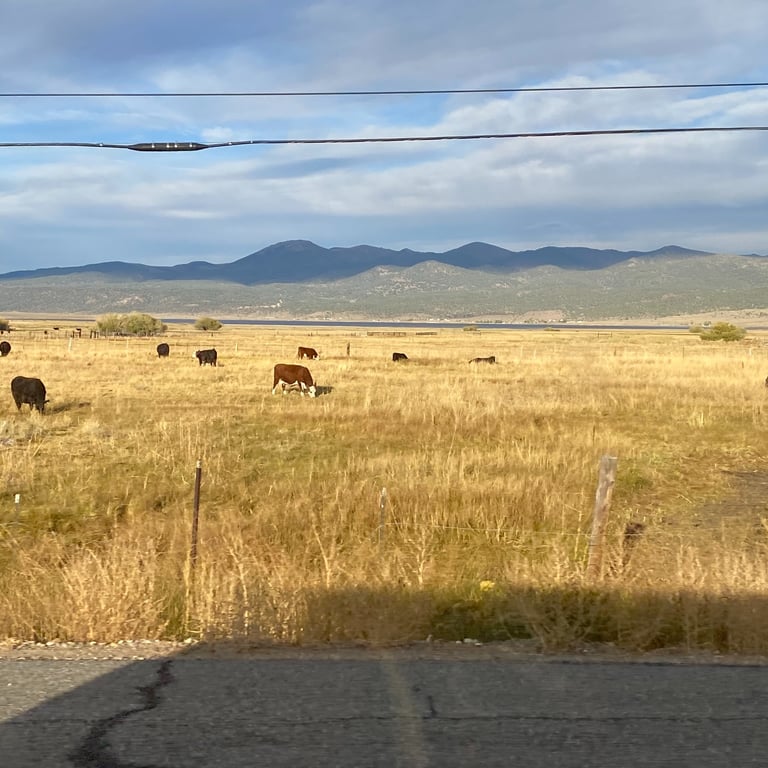
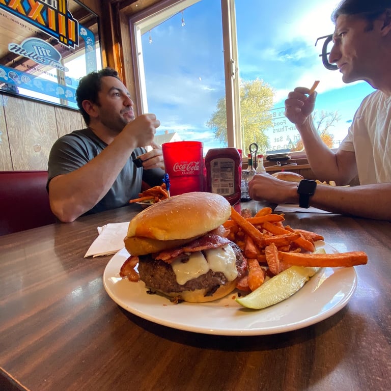
October 13, 12:15PM: The team met up in Berkeley around noon to load up the van and head out. The trailhead is far enough away that we decided to take Friday off from work to begin our trek. We have all been there - drive out Friday night or super early Saturday morning, come back to work for Monday morning - brutal. Taking an extra day was the way to go. Lots of daylight, good sleep, no rush. It is honestly much more enjoyable and safer. We made it to Bridgeport in time for an early dinner and took advantage of some final big calories. It was going to be a long day.
October 13, 8:38PM: Motel 6 was in full swing - thanks Sam! Super comfortable and warm. Our wake up call was set to 4AM. I am a big fan of starting as early as possible and moving steadily. Sometimes this takes some convincing and compromising among the team but the worst thing you can do is start late, push super hard from the gate and burn yourself out.
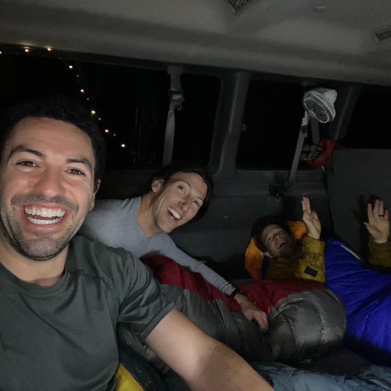
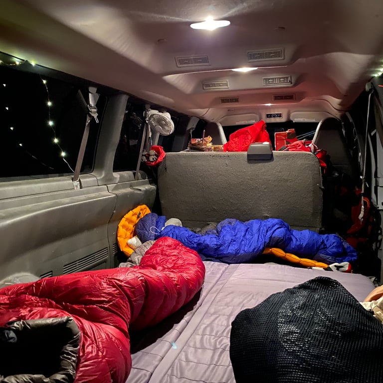
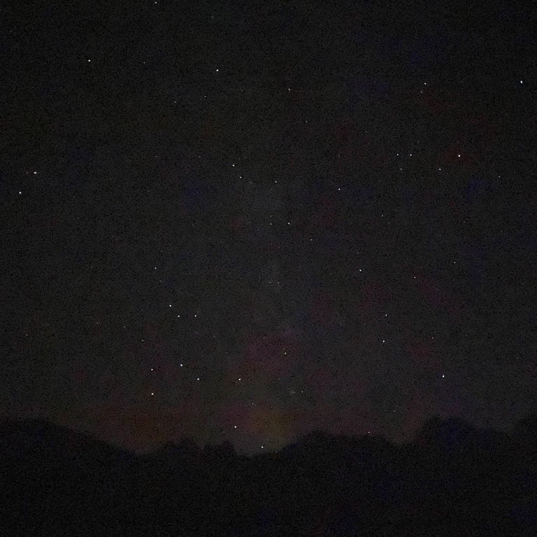
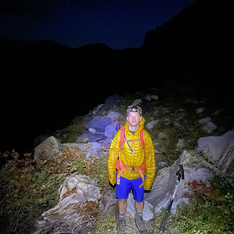
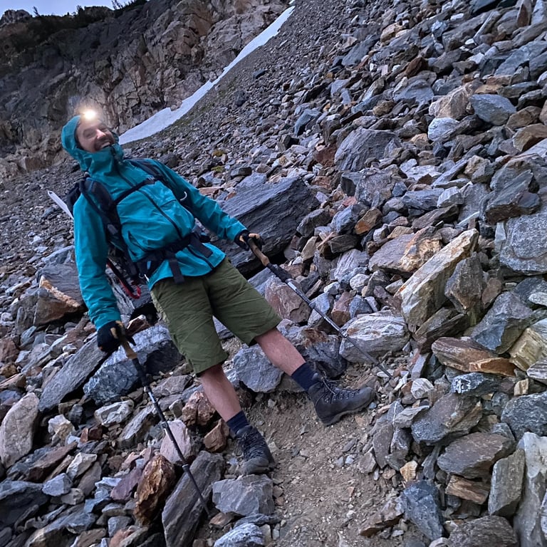
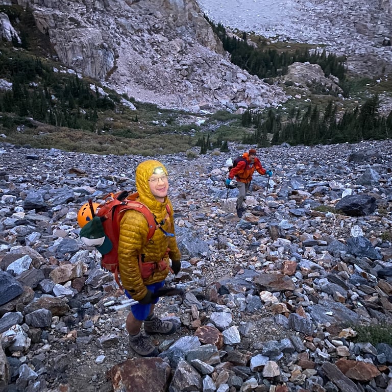

October 14, 4:03AM: Our bags were packed the night before so we just needed to get up, hydrate, eat a quick bar, and get out the door. We were moving on trail by 4:30AM. All great days start in the dark! Note to self...do not forget extra headlamp batteries. Ugh, rookie mistake. Good thing Ronen had extra batteries AND an extra headlamp. Another note to self...it is always good to pair yourself with other people thinking about backup gear and redundancies for this exact reason.
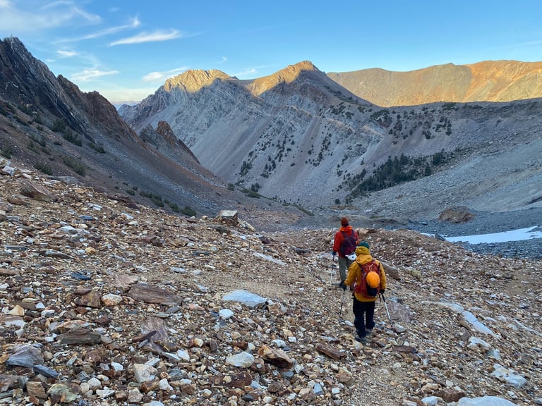
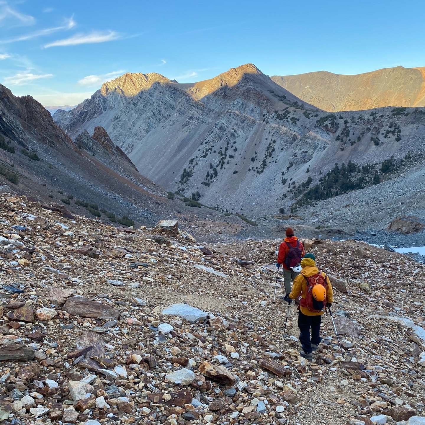
Temperature hovered just above freezing, which was not bad when we started moving. Shorts and t-shirt with a lightweight puffy and some glove liners were all I needed. The day started out on a normal maintained hiking trail which we made fast progress of. As the trail transitioned to a classic Sierra scree field, we warmed up nicely.
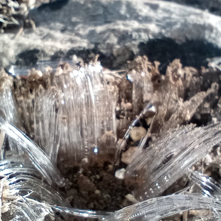
October 14, 7:59AM: The sun had fully risen at this point and the sky was clear. It was a bit windy but the sun helped. We had reached ~9,600ft and were feeling great. We discovered some really interesting ice crystal structures which had formed on the ground. After a bit of research I believe this is called needle ice which forms when the soil temperature is above freezing but the air temperature is below freezing. The team stopped here for a solid 15 minute break to catch up on food and water. The real climbing was just ahead.
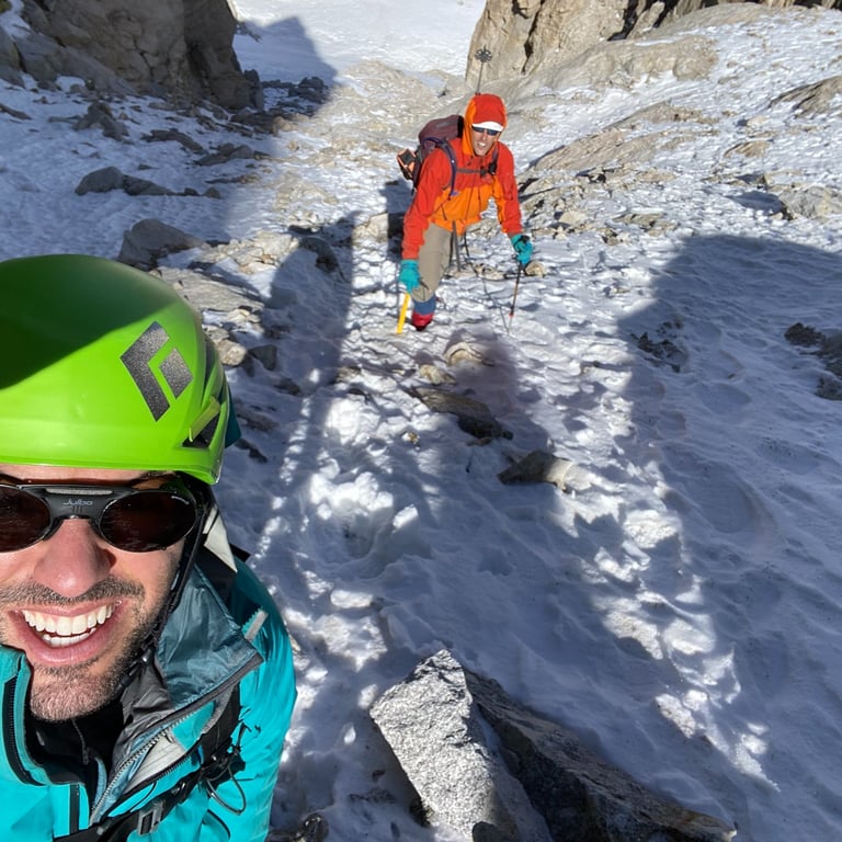
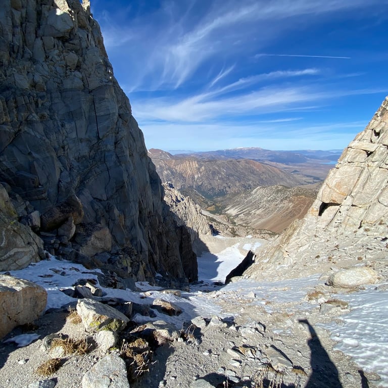
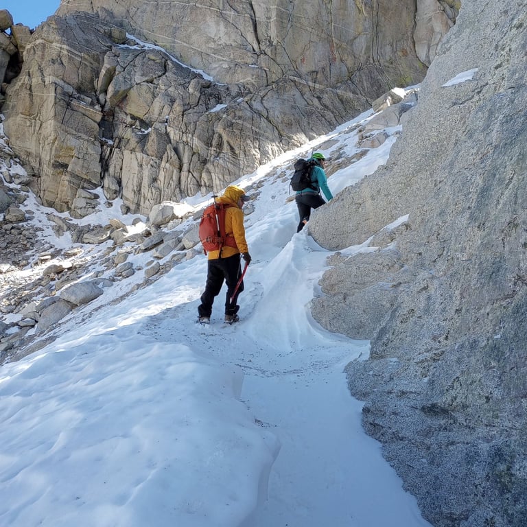
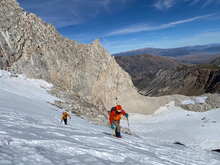
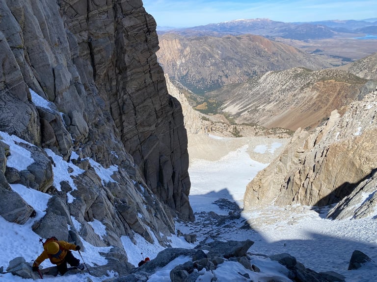
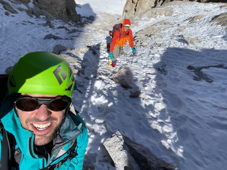
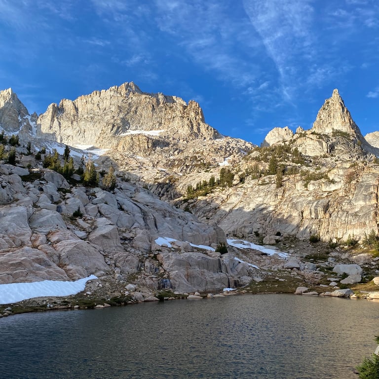
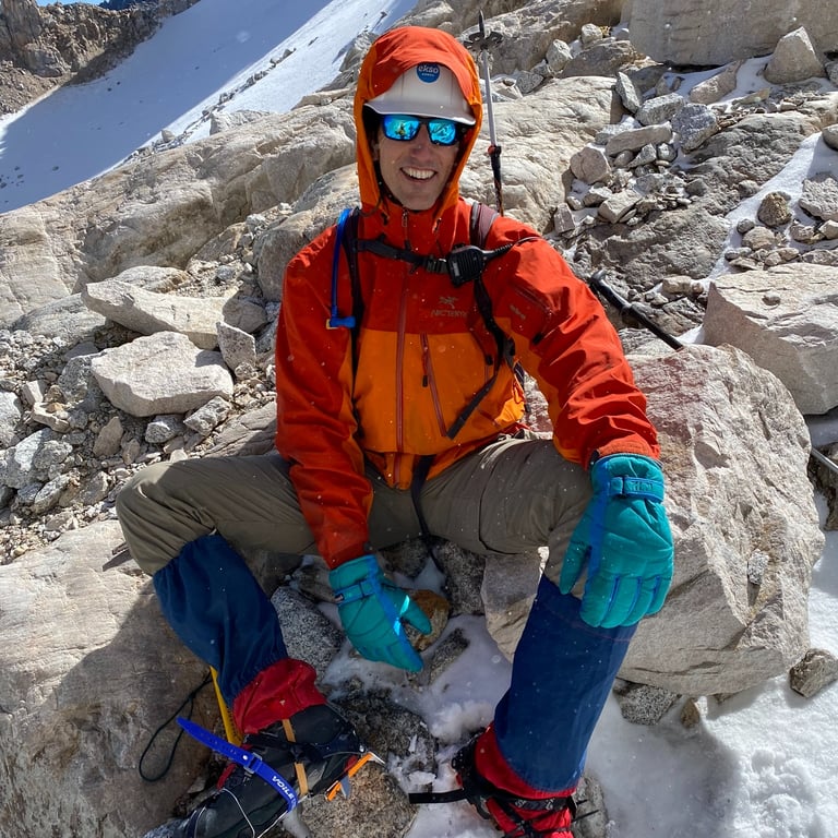
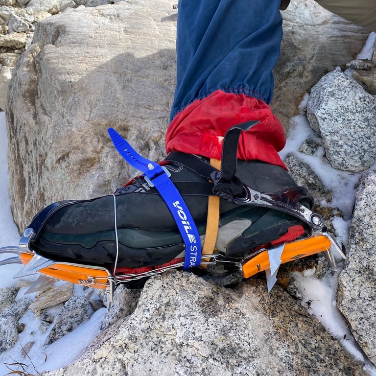
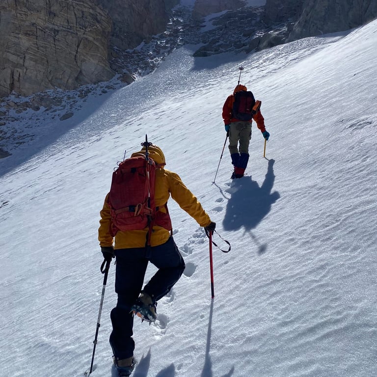
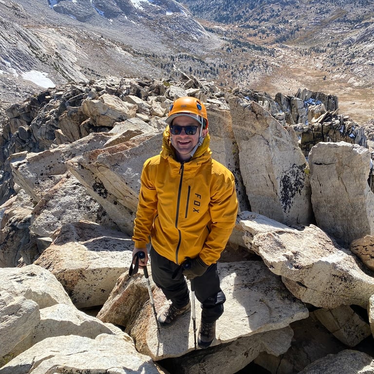
October 14, 11:40AM: By this time we were at the bottom of the icy eastern couloir which starts in earnest around the 11,000ft mark. We were definitely slowing down as the terrain became more technical and exposed. Instead of tackling a long snowy stretch between the lake and the couloir, we chose a scramble route - a decision that in hindsight may not have been the best. The route proved more exposed than anticipated, requiring us to proceed cautiously to reach the base of the couloir. In the photos below you will see SamTheVegan's optimal gear setup. This includes a construction hardhat (haters going to hate) and more importantly a crampon that was sized way too small for his large feet. We made it work with the help of some metal wire, ski straps, and zip ties. Note to self...make sure everyone in your party has tried on their crampons before the trip.
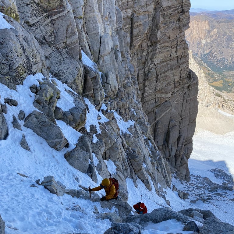
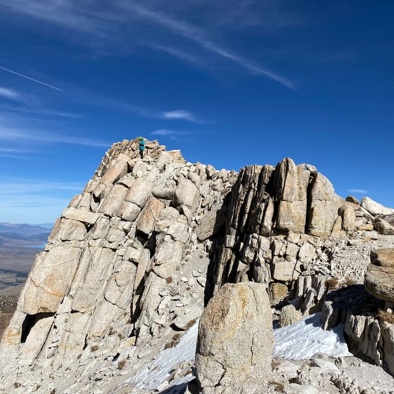
October 14, 1:22PM: The team made it through the crux of the eastern couloir. Pictures do not do it justice - steep and icy. The mixture of rock and snow was unsupportive in spots. Crampons, ice axe, and a helmet were definitely a must. A fall in some spots would be...unpleasant. We were the only party going up this route. There was a group of 4 hiking the AllTrails route which is a non technical giant scree field the entire way. I traded in my puffy, which would have been torn to shreds, for a hard shell. While the wind was not strong, its steady breeze kept us refreshed even during exertion. Surprisingly, I felt minimal effects from the altitude - no headaches, anxiety, or brain fog. Good sleep does wonders.
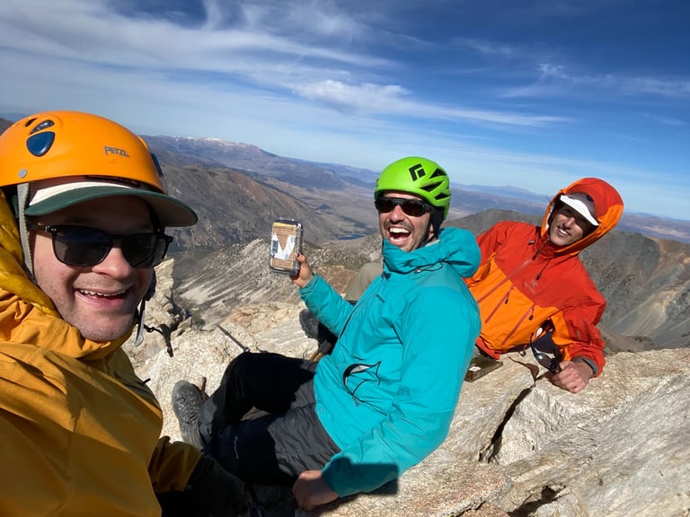
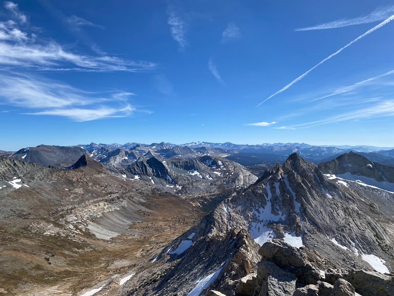
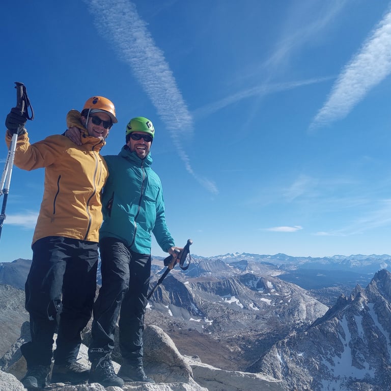
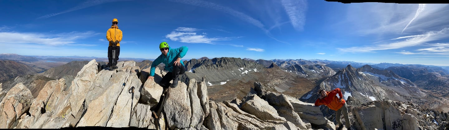
October 14, 2:44PM: We reached the summit after some final scrambling! 360 degree view at 12,279ft on a clear day - hard to beat! We spent a good 35 minutes or so celebrating and taking pictures. It was a job well done. We were a little behind schedule and moving through steep scree is never fast. It was a long way back to the car but with no injuries, plenty of food and water, and still lots of light we were confident in our abilities to get down safely. All we really had to do was get back to the hiking trail by sunset.
October 14, 5:02PM: So much faster descending! We went down the scree field instead of the couloir (that would have been sketch city). We were through the worst of the ankle biter scree sections. Now it was a good ole' slog march back to the van. But first, a little break.
October 14, 9:44PM: Back to the Van! 17 hours door to door. Woof. I ate a bunch of food and went to sleep. We drove back to the Bay Area the next morning.
Thank you Matterhorn Peak for granting us access this time around - we shall return!